
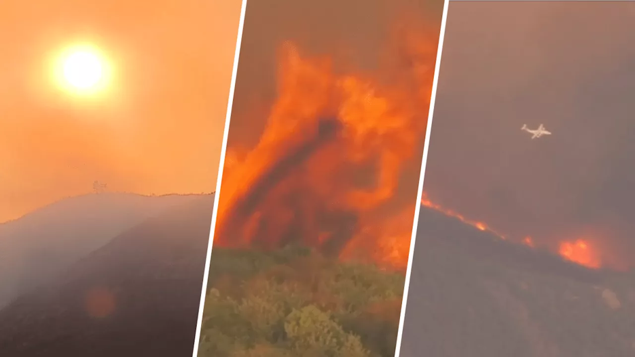
Satellite images and videos show the expanding fires of Southern California, including the Bridge, Line and Airport fires.
As four fires grew in Southern California, new satellite images show their scale and the amount of smoke pouring east. The Line, Bridge, Airport and Roblar fires, all of which began in the past week, were responsible for the flames. Each fire burns within 100 miles of Los Angeles. Reports detail over a dozen injuries and damage to homes. The image below from the National Aeronautics and Space Administration shows the change in smoke from Tuesday, Sept. 10 to Wednesday, Sept. 11.
The smoke plume from the fires can be seen extending north and east from Southern California into neighboring states. The Line fire, around 35,000 acres in size, began Thursday and was 14% contained Wednesday afternoon. In the posts embedded below, an expert labels the fires and attaches further visuals. The video below overlays nearby cities, including Riverside, San Bernardino, Victorville and Palm Springs.
日本 最新ニュース, 日本 見出し
Similar News:他のニュース ソースから収集した、これに似たニュース記事を読むこともできます。
 Terrible air quality, smoky conditions in parts of Southern California due to firesThe South Coast Air Quality Management District issues an air quality alert due to elevated fine particle pollution levels due to wildfire smoke and ozone pollution.
続きを読む »
 Fires across Southern California worsens air quality for millions of residentsThe Line Fire worsened air quality to 'hazardous levels,' according to the South Coast Air Quality Management District.
続きを読む »
 Map: See where fires are burning in Southern CaliforniaHere are the active wildfires by county.
続きを読む »
 Map: See where fires are burning in Southern CaliforniaHere are the active wildfires by county.
続きを読む »
 Map: See where fires are burning in Southern CaliforniaHere are the active wildfires by county.
続きを読む »
 Map: See where fires are burning in Southern CaliforniaHere are the active wildfires by county.
続きを読む »